- English
- Português
Languages:
This site is created using Wikimapia data. Wikimapia is an open-content collaborative map project contributed by volunteers around the world. It contains information about 32611584 places and counting.
Learn more about Wikimapia and cityguides.
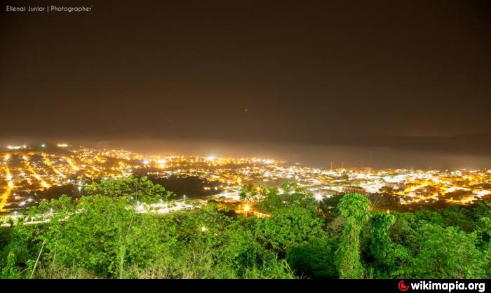
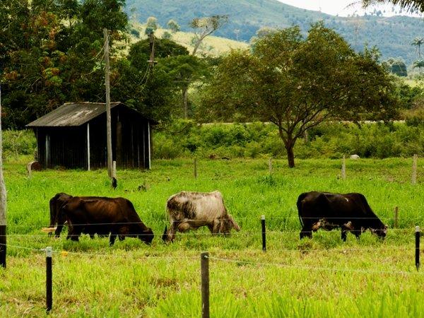
Parauapebas
Parauapebas
www.parauapebas.pa.gov.br /
Geographical characteristics
Area 7.007,737 km²
Population 180.965 hab. est. 2006
Density 13,6 hab. / km²
Altitude 18 meters
Climate No available
Time zone UTC -3
Indicative
IDH 0,741 PNUD/2000
GDP R$ 1.158.873.199,00 IBGE/2003
Per capita GDP R$ 13.734,63 IBGE/2003
In the end of the decade of 60, researchers discovered the largest reservation mineral of the world, in the Southeast of Pará, to the margins of the SHOVEL 275. Years later the Government granted to the Company is Worth of Rio Doce (CVRD) the right of exploring iron ore, gold and manganese in the place, before inhabited for Indians Xikrins of Catetté and remainders of the Cycle of the Chestnut.
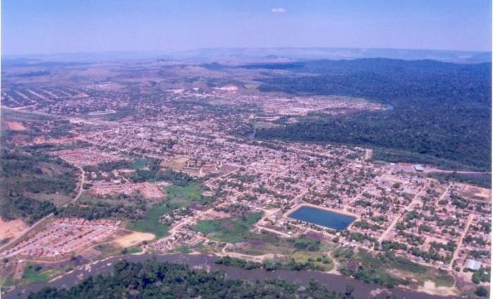
In 1981, he/she felt beginning of the implantation of the Project “I Iron Carajás”. In it is worth him/it of the river Parauapebas began to the Town of Parauapebas to be built. The news of the construction of the nucleus of Parauapebas provoked an intense displacement of people for the area. In little time, however, Rio Green's town, in spite of the inferior conditions in relation to the patterns of the projected nucleus, overcame the population, and the commercial movement also happened in the beginning, exactly in Rio Verde, place where the urban nucleus appeared spontaneously. The town that had been projected to assist 5.000 inhabitants, according to data of IBGE, was already with 20.000 inhabitants.
Wikipedia: pt.wikipedia.org/wiki/Parauapebas
type: City
Parauapebas
www.parauapebas.pa.gov.br /
Geographical characteristics
Area 7.007,737 km²
Population 180.965 hab. est. 2006
Density 13,6 hab. / km²
Altitude 18 meters
Climate No available
Time zone UTC -3
Indicative
IDH 0,741 PNUD/2000
GDP R$ 1.158.873.199,00 IBGE/2003
Per capita GDP R$ 13.734,63 IBGE/2003
In the end of the decade of 60, researchers discovered the largest reservation mineral of the world, in the Southeast of Pará, to the margins of the SHOVEL 275. Years later the Government granted to the Company is Worth of Rio Doce (CVRD) the right of exploring iron ore, gold and manganese in the place, before inhabited for Indians Xikrins...
 Reduce description
Parauapebas on the map.